


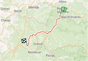


10.3 km | 14.5 km-effort


User


FREE GPS app for hiking
 SityTrail
IGN / Geographical institutes
SityTrail World
The world is yours!
Trail Equestrian of 30 km to be discovered at Occitania, Lozère, Mont Lozère et Goulet. This trail is proposed by alfreson.
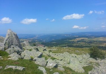
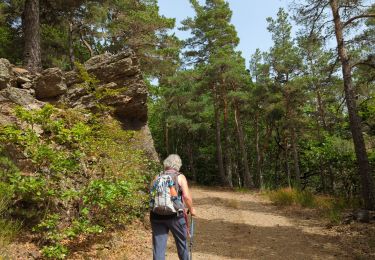
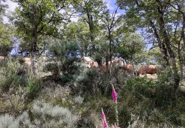
On commence par revenir sur nos pas par la fin de la boucle précédente, puis on continue par les pinèdes, les campagnes et la caisse de Sauveterre. Boucle facile à l'exception d'un passage très technique dans les rochers!!!


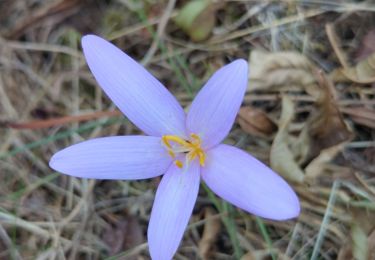
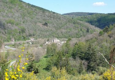
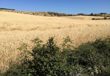
33 photos in total. Please click on a photo to see them all in the gallery.

Other activity
Walking

Walking
Walking
Equestrian
Walking
Walking
Walking